Save

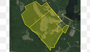
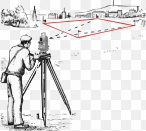
User lokertyberto uploaded this Топографическая съёмка Geodesy Land Lot Surveyor Cadastre PNG PNG image on May 24, 2018, 2:18 pm. The resolution of this file is 640x512px and its file size is: 364.04 KB. This PNG image is filed under the tags:
Топографическая съёмка Geodesy Land Lot Surveyor Cadastre PNG
Below are more related PNG images...