Save
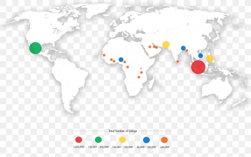
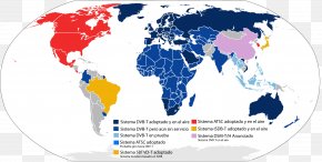
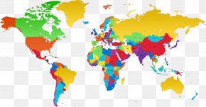
User ruthwphillips uploaded this World Map - Early World Maps Latitude PNG PNG image on February 22, 2018, 8:54 am. The resolution of this file is 960x600px and its file size is: 265.04 KB. This PNG image is filed under the tags:
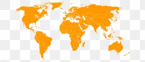
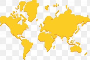
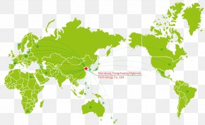
World Map - Early World Maps Latitude PNG
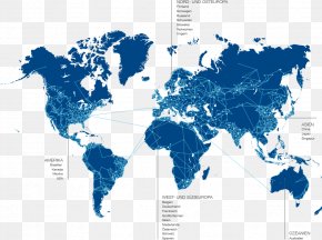
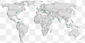
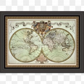
Below are more related PNG images...