Save
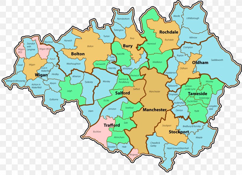
User Greymtr uploaded this Uk County Map - Manchester Tameside Atherton Rochdale M Postcode Area PNG PNG image on September 27, 2017, 7:50 pm. The resolution of this file is 3358x2443px and its file size is: 675.84 KB. This PNG image is filed under the tags:
Uk County Map - Manchester Tameside Atherton Rochdale M Postcode Area PNG
Below are more related PNG images...