Save
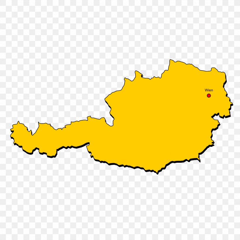
User melvinwmp uploaded this Tyrol Vorarlberg Long-distance Trail Location Map PNG PNG image on November 2, 2017, 2:32 am. The resolution of this file is 1500x1500px and its file size is: 81.22 KB. This PNG image is filed under the tags:
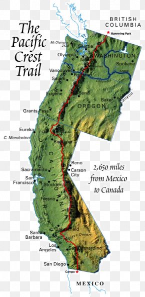
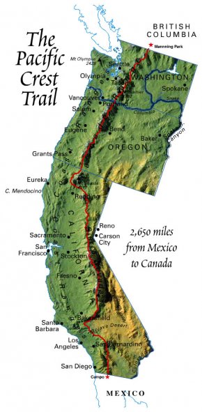
Tyrol Vorarlberg Long-distance Trail Location Map PNG
Below are more related PNG images...