Save
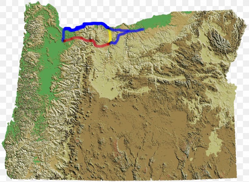
User hoyrijan3690 uploaded this Topography - Oregon Trail Raised-relief Map Physische Karte Reliefkarte PNG PNG image on October 20, 2017, 4:04 am. The resolution of this file is 1086x798px and its file size is: 1.29 MB. This PNG image is filed under the tags:
Topography - Oregon Trail Raised-relief Map Physische Karte Reliefkarte PNG
Below are more related PNG images...