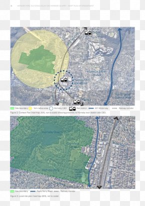
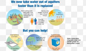
Save
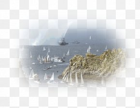
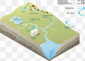
User iSwaggatron13 uploaded this Sea View - Map Aerial Photography Water Resources PNG PNG image on October 20, 2021, 3:39 pm. The resolution of this file is 1280x720px and its file size is: 512.00 KB. This PNG image is filed under the tags:
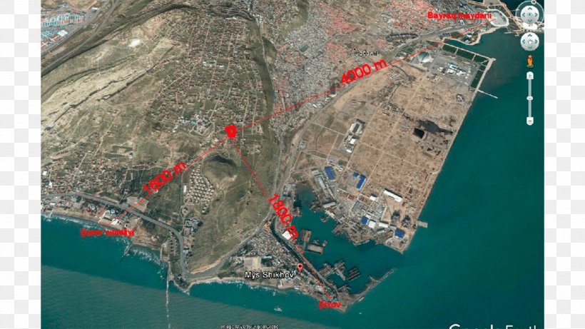
Sea View - Map Aerial Photography Water Resources PNG
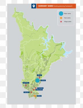
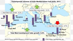
Below are more related PNG images...