browse
logos
calendar
log in
sign up
Browse PNG's
Famous PNG Logos
Events Calendar
Popular PNG's
Newest PNG's
PNG's by Color
AI Background Remover
AI Image Editor
Help / FAQ
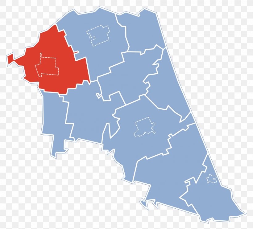
User maximlawren uploaded the image
Suchowola Gmina Wiejska Map Encyclopedia PNG
. The Suchowola Gmina Wiejska Map Encyclopedia PNG has a transparent background, is 271.74 KB and has a resolution of 1920 x 1742 pixels.
Gmina
Area
Encyclopedia
Map
Podlaskie Voivodeship
Voivodeships Of Poland
Wikipedia
World
Suchowola Gmina Wiejska Map Encyclopedia PNG
Download PNG
(271.74 KB)
1920 x 1742
271.74 KB
maximlawren
Editorial Use
Edit PNG
AI Background Remover
Related PNG Images
Map
Navigation
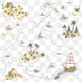
Treasure Map
Google Maps Logo
Geography
Travel
Pirate Map
Location
Cartography
Location Pin
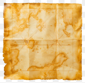
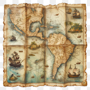
Antique Map
World Map
Location Marker
Google Maps
Map Pin
Travel Planning
Map Design
Adventure Map
Navigation Tool
Route Planning
Old Map
Digital Map
Map Icon
Africa Map
Icon