User KLASH-HACKER uploaded the image
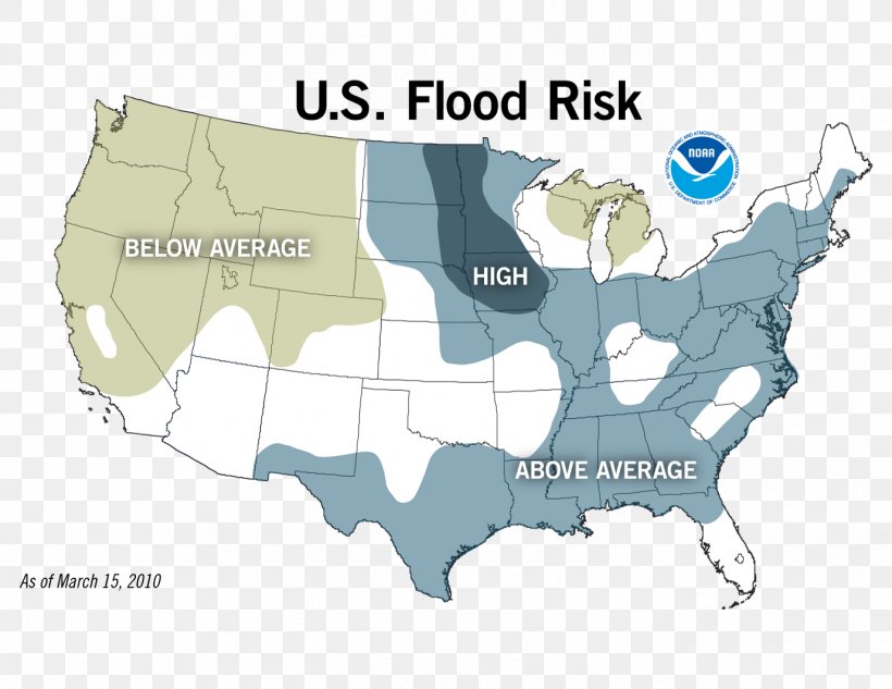
United States Flood Insurance Rate Map Flood Risk Assessment PNG
. The United States Flood Insurance Rate Map Flood Risk Assessment PNG has a transparent background, is 315.84 KB and has a resolution of 1378 x 1065 pixels.United States Flood Insurance Rate Map Flood Risk Assessment PNG
Related PNG Images