Save
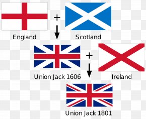
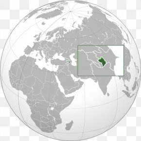
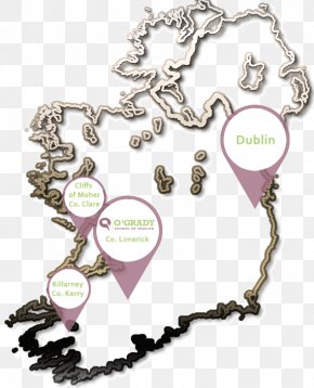
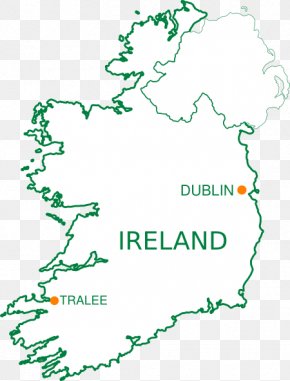
User 42726 uploaded this Republic Of Ireland–United Kingdom Border Belfast World Map PNG PNG image on February 25, 2018, 5:43 am. The resolution of this file is 645x761px and its file size is: 104.03 KB. This PNG image is filed under the tags:
Republic Of Ireland–United Kingdom Border Belfast World Map PNG
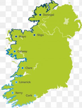
Below are more related PNG images...