Save
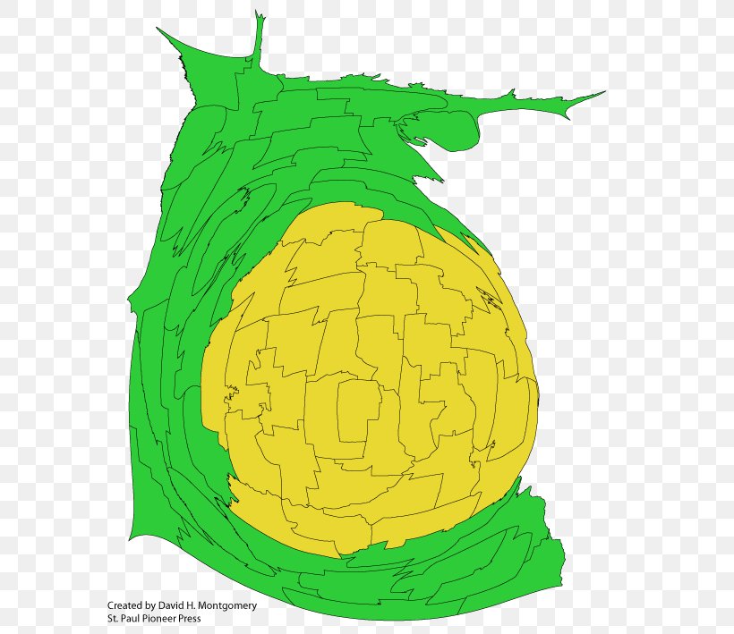
User justanotheraccount uploaded this Minnesota Cities Metropolitan Area - Map Cartogram Communities In The Minneapolis–Saint Paul Metro Area Population U.S. State PNG PNG image on May 26, 2019, 1:01 am. The resolution of this file is 595x709px and its file size is: 81.50 KB. This PNG image is filed under the tags:
Minnesota Cities Metropolitan Area - Map Cartogram Communities In The Minneapolis–Saint Paul Metro Area Population U.S. State PNG
Below are more related PNG images...