Save
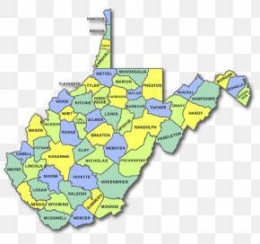
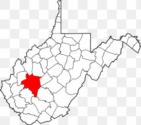
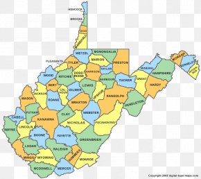
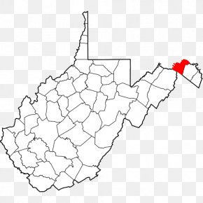
User KYSkid uploaded this Map - Wirt County, West Virginia Wood County Map PNG PNG image on June 6, 2018, 5:28 am. The resolution of this file is 1584x1123px and its file size is: 104.95 KB. This PNG image is filed under the tags:
Map - Wirt County, West Virginia Wood County Map PNG
Below are more related PNG images...