Save
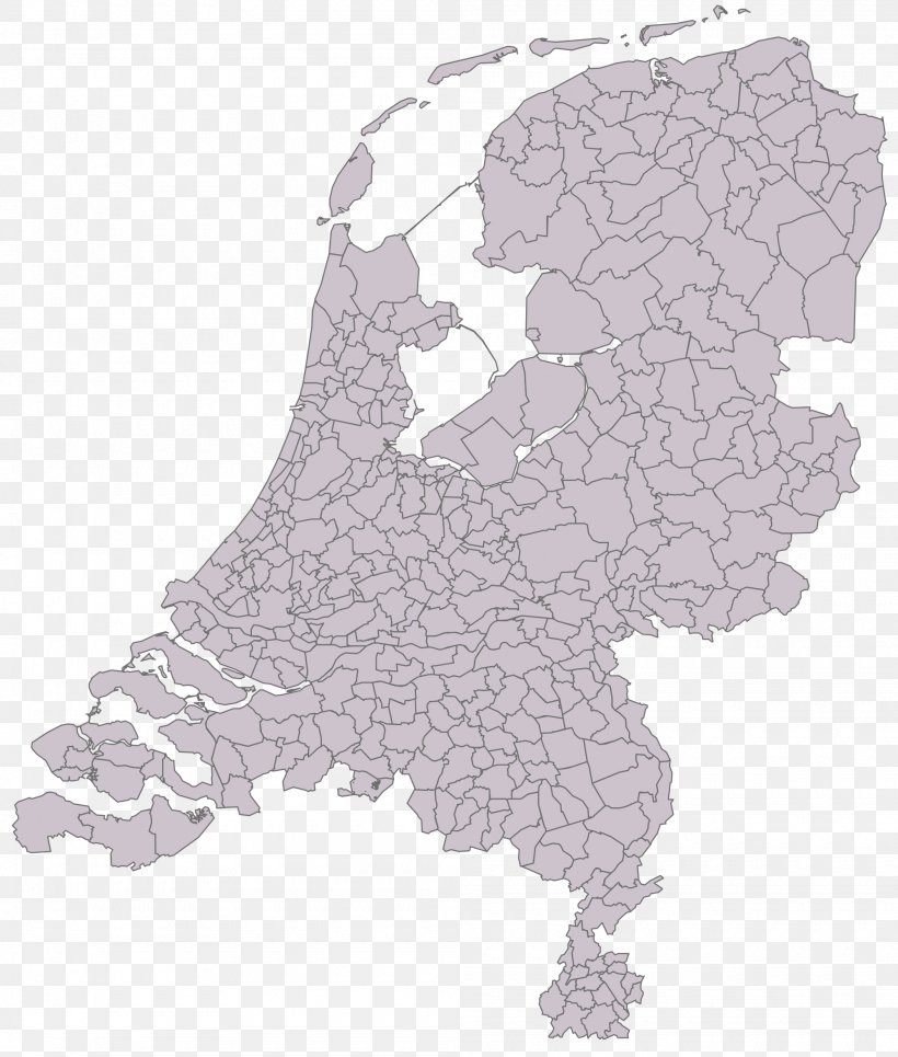
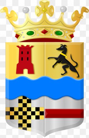
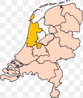
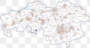
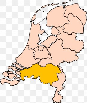
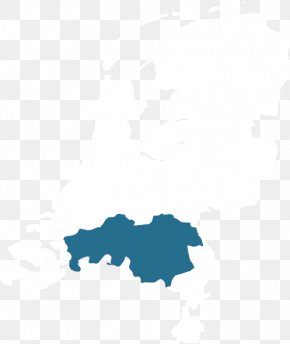
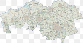
User psycomail uploaded this Map - Willemstad, North Brabant Zevenbergen A17 Motorway Map Gemeente-atlas Van Nederland PNG PNG image on November 18, 2021, 11:34 am. The resolution of this file is 2000x2354px and its file size is: 942.08 KB. This PNG image is filed under the tags:
Map - Willemstad, North Brabant Zevenbergen A17 Motorway Map Gemeente-atlas Van Nederland PNG
Below are more related PNG images...