Save
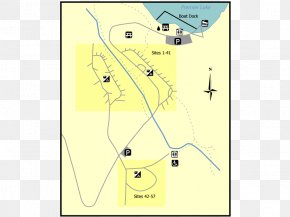
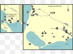
User burgjuriya uploaded this Map - Wheatley, Ontario Ontario Parks Map Provincial Park PNG PNG image on October 23, 2018, 9:03 am. The resolution of this file is 800x600px and its file size is: 87.95 KB. This PNG image is filed under the tags:
Map - Wheatley, Ontario Ontario Parks Map Provincial Park PNG
Below are more related PNG images...