Save
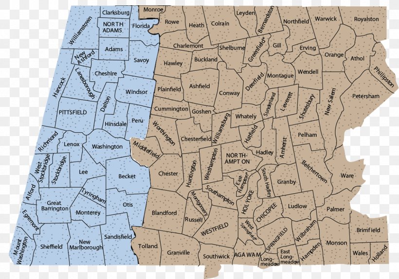
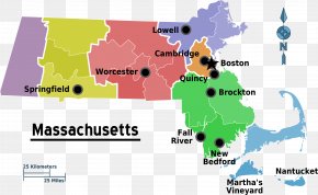
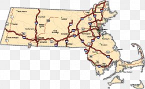
User Insolyte uploaded this Map - Western Massachusetts MetroWest Road Map Erving PNG PNG image on November 9, 2017, 5:23 pm. The resolution of this file is 1116x782px and its file size is: 839.68 KB. This PNG image is filed under the tags:
Map - Western Massachusetts MetroWest Road Map Erving PNG
Below are more related PNG images...