User DJeannieCerrite uploaded the image
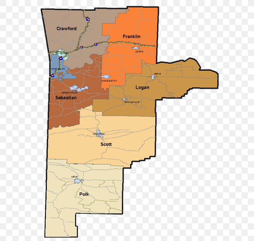
Western Ar Planning & Dev District Van Buren Geographic Information System Map PNG
. The Western Ar Planning & Dev District Van Buren Geographic Information System Map PNG has a transparent background, is 153.00 KB and has a resolution of 600 x 777 pixels.Western Ar Planning & Dev District Van Buren Geographic Information System Map PNG
Related PNG Images