User Mugoletti2 uploaded the image
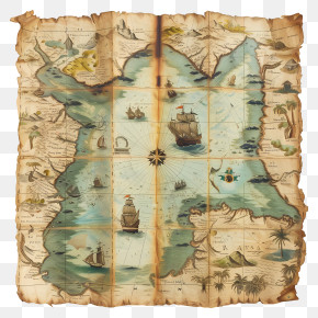
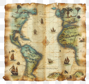
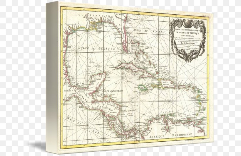
West Indies Caribbean Nautical Chart Road Map PNG
. The West Indies Caribbean Nautical Chart Road Map PNG has a transparent background, is 563.20 KB and has a resolution of 650 x 533 pixels.Related PNG Images