Save
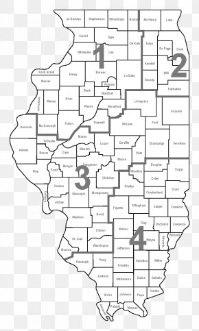
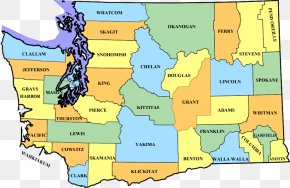
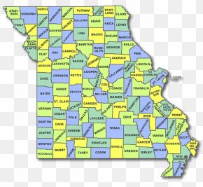
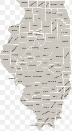
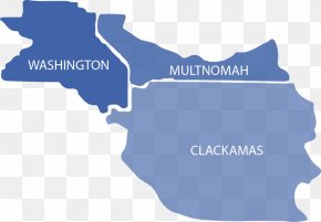
User Leaker6969 uploaded this Map - Washington County, Illinois Peoria Tazewell County, Virginia Map PNG PNG image on October 12, 2018, 1:15 am. The resolution of this file is 700x616px and its file size is: 61.98 KB. This PNG image is filed under the tags:
Map - Washington County, Illinois Peoria Tazewell County, Virginia Map PNG
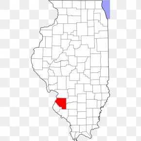
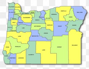
Below are more related PNG images...