Save
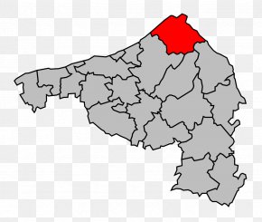
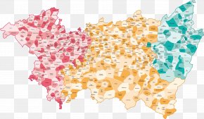
User BetaManfromMMRPG uploaded this Map - Trith-Saint-Léger Saint-Amand-les-Eaux Aubry-du-Hainaut Map PNG PNG image on February 24, 2018, 6:28 am. The resolution of this file is 1200x983px and its file size is: 295.57 KB. This PNG image is filed under the tags:
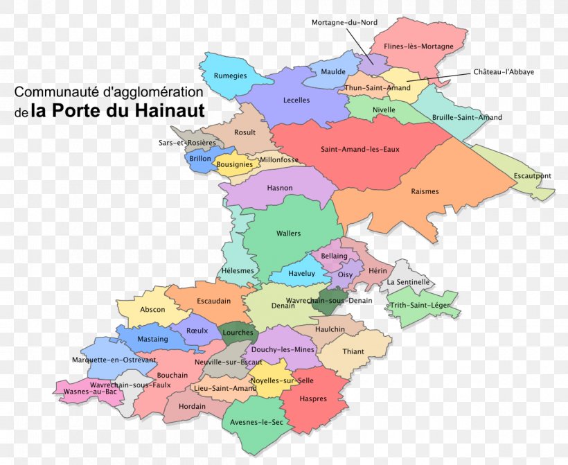
Map - Trith-Saint-Léger Saint-Amand-les-Eaux Aubry-du-Hainaut Map PNG
Below are more related PNG images...