browse
logos
calendar
log in
sign up
Browse PNG's
Famous PNG Logos
Events Calendar
Popular PNG's
Newest PNG's
PNG's by Color
AI Background Remover
AI Image Editor
Help / FAQ
User woruxoloj uploaded the image
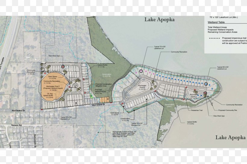
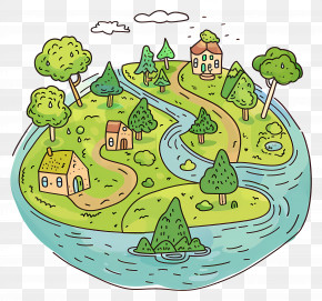
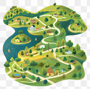
Town Of Oakland Map Plan Hull Island Drive PNG
. The Town Of Oakland Map Plan Hull Island Drive PNG has a transparent background, is 716.80 KB and has a resolution of 870 x 580 pixels.
Map
Area
Diagram
Florida
Land Lot
Oakland
Plan
Structure
Town
Urban Design
West Orange High School
Winter Garden
Zoning
Town Of Oakland Map Plan Hull Island Drive PNG
Download PNG
(716.80 KB)
870 x 580
716.80 KB
woruxoloj
Editorial Use
Edit PNG
AI Background Remover
Related PNG Images
Island
Buildings
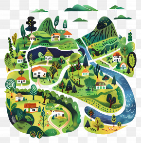
Village
World Town Planning Day
Architecture
Bali Island
Houses
Town Planning
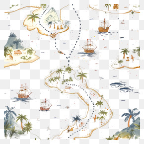
Adventure
Map
Trees
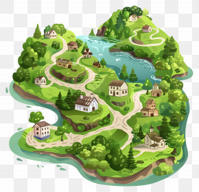
Miniature Town
Treasure Map
Community
Palm Trees
Travel
Colorful Houses
Exploration
Neighborhood
Urban Planning
Green Island
Vacation
Miniature Village
Town
Island Map