Save
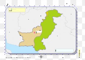
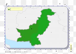
User susanfeist uploaded this Map - Swat District Khyber Pass Kohistan District, Pakistan World Map PNG PNG image on April 14, 2018, 4:07 am. The resolution of this file is 1200x1290px and its file size is: 244.89 KB. This PNG image is filed under the tags:
Map - Swat District Khyber Pass Kohistan District, Pakistan World Map PNG
Below are more related PNG images...