Save
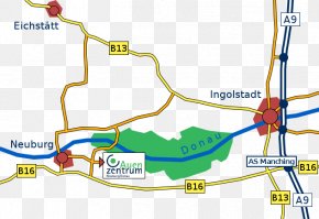
User devianne_ppx uploaded this Map - Staatzer Straße Thayatal Straße Map Laa An Der Thaya PNG PNG image on December 29, 2017, 12:29 pm. The resolution of this file is 1200x1100px and its file size is: 335.43 KB. This PNG image is filed under the tags:
Map - Staatzer Straße Thayatal Straße Map Laa An Der Thaya PNG
Below are more related PNG images...