Save
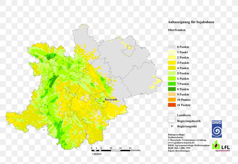
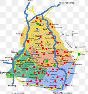
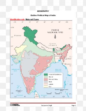
User iLLf8d uploaded this Map - Soil Map Upper Franconia Soybean PNG PNG image on April 13, 2021, 6:42 am. The resolution of this file is 800x566px and its file size is: 207.83 KB. This PNG image is filed under the tags:
Map - Soil Map Upper Franconia Soybean PNG
Below are more related PNG images...