Save
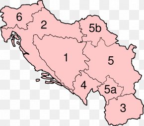
User Unko uploaded this Map - Socialist Republic Of Croatia Istria Map Socialist Federal Republic Of Yugoslavia PNG PNG image on July 26, 2021, 9:51 pm. The resolution of this file is 1024x724px and its file size is: 113.76 KB. This PNG image is filed under the tags:
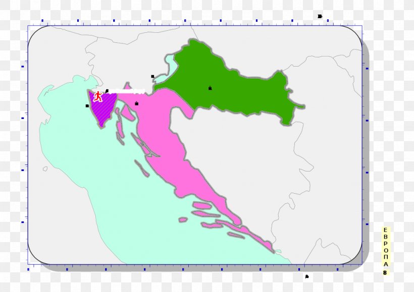
Map - Socialist Republic Of Croatia Istria Map Socialist Federal Republic Of Yugoslavia PNG
Below are more related PNG images...