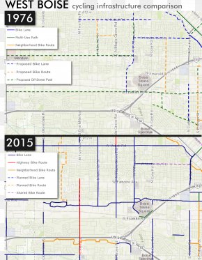
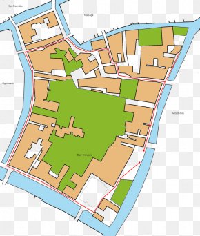
Save
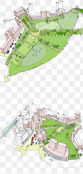
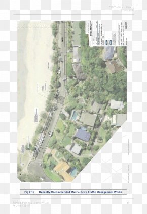
User Gretta30S uploaded this Map - Residential Area Urban Design Map Land Lot Plan PNG PNG image on February 7, 2019, 9:11 am. The resolution of this file is 998x762px and its file size is: 696.32 KB. This PNG image is filed under the tags:
Map - Residential Area Urban Design Map Land Lot Plan PNG
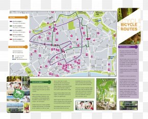
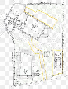
Below are more related PNG images...