Save
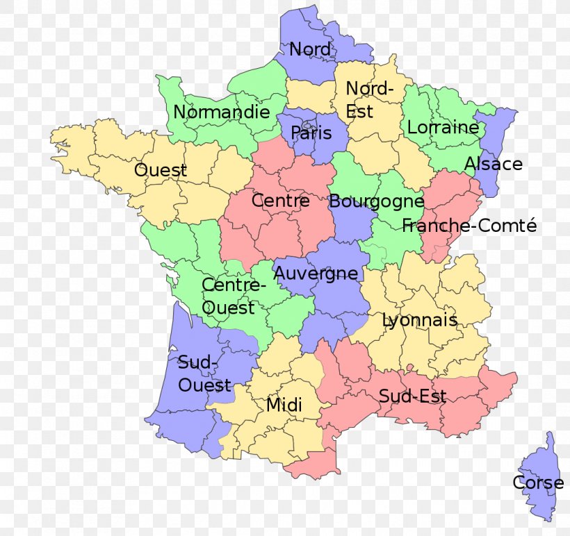
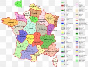
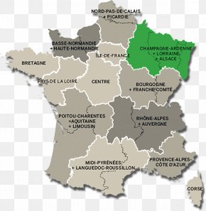
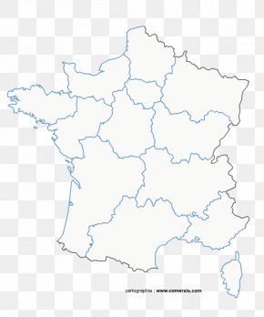
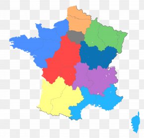
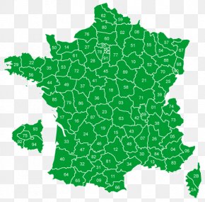
User christophedo uploaded this Map - Regions Of France Nord Map La Bourgogne Grand Est PNG PNG image on May 31, 2019, 8:25 am. The resolution of this file is 1087x1024px and its file size is: 292.80 KB. This PNG image is filed under the tags:
Map - Regions Of France Nord Map La Bourgogne Grand Est PNG
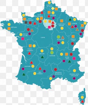
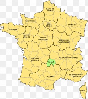
Below are more related PNG images...