Save

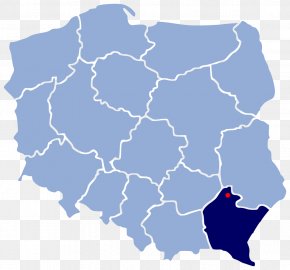
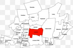
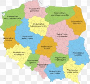
User MindySwish uploaded this Map - Powiat Lubomelski Locator Map Liuboml Poland PNG PNG image on June 5, 2019, 10:00 pm. The resolution of this file is 1390x1199px and its file size is: 132.43 KB. This PNG image is filed under the tags:
Map - Powiat Lubomelski Locator Map Liuboml Poland PNG
Below are more related PNG images...