Save
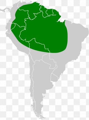
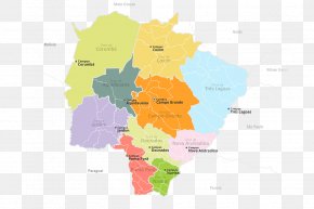
User DontTryMe uploaded this Map - Pará Amazonas Mato Grosso Tocantins Map PNG PNG image on September 13, 2018, 3:44 am. The resolution of this file is 579x582px and its file size is: 62.64 KB. This PNG image is filed under the tags:
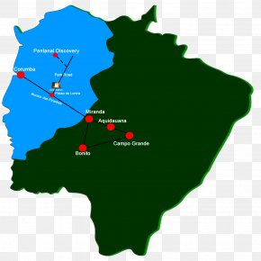
Map - Pará Amazonas Mato Grosso Tocantins Map PNG
Below are more related PNG images...