User bfhalmes uploaded the image
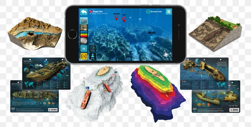
Ocean Maps GmbH Underwater Geographic Information System Visualization PNG
. The Ocean Maps GmbH Underwater Geographic Information System Visualization PNG has a transparent background, is 1.34 MB and has a resolution of 1379 x 700 pixels.Ocean Maps GmbH Underwater Geographic Information System Visualization PNG
Related PNG Images