Save
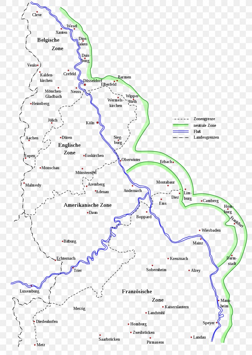
User WinfredNuno uploaded this Map - Occupation Of The Rhineland Map Feldpost Der Alliierten In Deutschland Nach Dem Ersten Weltkrieg 1918–1935 Military Mail First World War PNG PNG image on December 24, 2018, 10:19 am. The resolution of this file is 1106x1557px and its file size is: 215.19 KB. This PNG image is filed under the tags:
Map - Occupation Of The Rhineland Map Feldpost Der Alliierten In Deutschland Nach Dem Ersten Weltkrieg 1918–1935 Military Mail First World War PNG
Below are more related PNG images...