Save
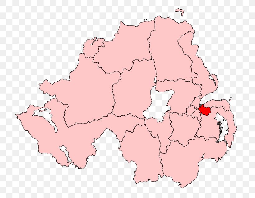
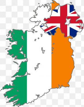
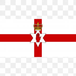
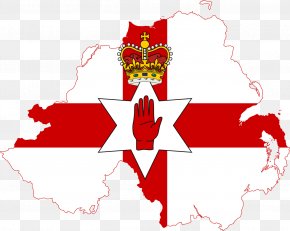
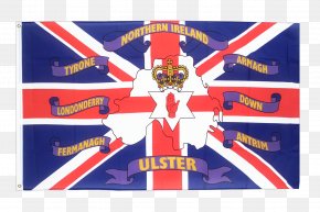
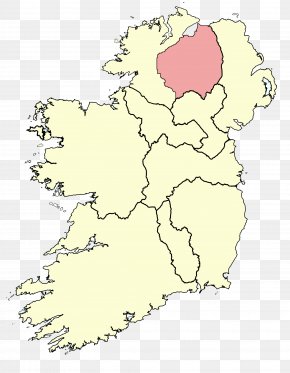
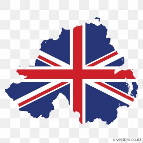
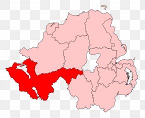
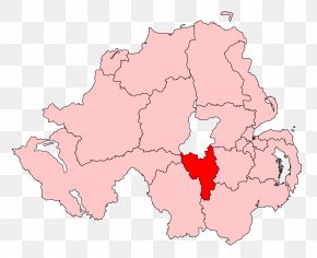
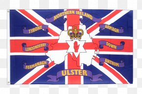
User Nerdtron93 uploaded this Map - Northern Ireland West Tyrone East Londonderry Mid Ulster Foyle PNG PNG image on November 14, 2021, 5:07 am. The resolution of this file is 779x635px and its file size is: 98.18 KB. This PNG image is filed under the tags:
Map - Northern Ireland West Tyrone East Londonderry Mid Ulster Foyle PNG
Below are more related PNG images...