Save
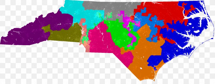
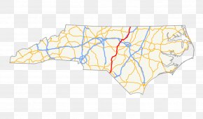
User Edwrdsmtxh uploaded this Map - North Carolina's Congressional Districts Raised-relief Map Terrain Cartography PNG PNG image on November 11, 2017, 12:01 pm. The resolution of this file is 1920x751px and its file size is: 573.44 KB. This PNG image is filed under the tags:
Map - North Carolina's Congressional Districts Raised-relief Map Terrain Cartography PNG
Below are more related PNG images...