Save
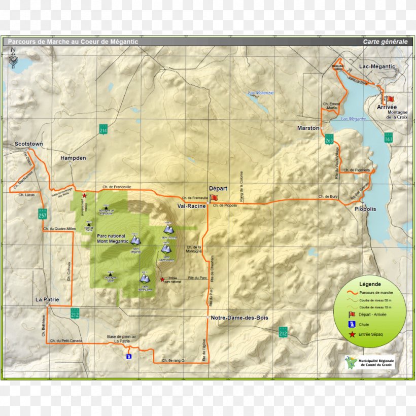
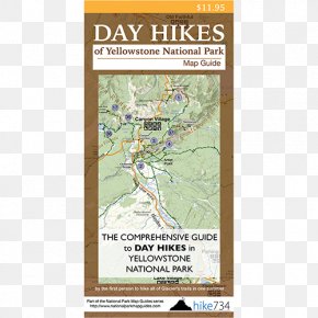
User kimeunkyung157 uploaded this Map - Mont-Mégantic National Park Lac-Mégantic Estrie Hiking Map PNG PNG image on February 11, 2024, 9:51 am. The resolution of this file is 980x980px and its file size is: 1.31 MB. This PNG image is filed under the tags:
Map - Mont-Mégantic National Park Lac-Mégantic Estrie Hiking Map PNG
Below are more related PNG images...