Save
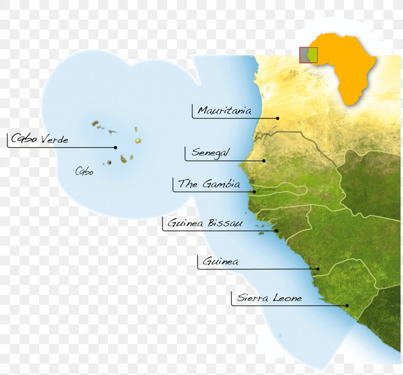
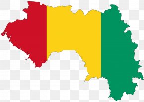
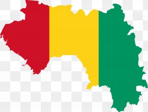
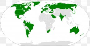
User Caseratis uploaded this Map - Mauritania Senegal Guinea Map Exclusive Economic Zone PNG PNG image on June 14, 2018, 12:23 am. The resolution of this file is 1849x1721px and its file size is: 952.32 KB. This PNG image is filed under the tags:
Map - Mauritania Senegal Guinea Map Exclusive Economic Zone PNG
Below are more related PNG images...