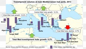
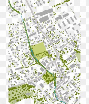
Save
User ABOLGAMER uploaded this Map - Map Residential Area Land Lot Plan Line PNG PNG image on April 2, 2018, 7:08 am. The resolution of this file is 1024x801px and its file size is: 380.62 KB. This PNG image is filed under the tags:
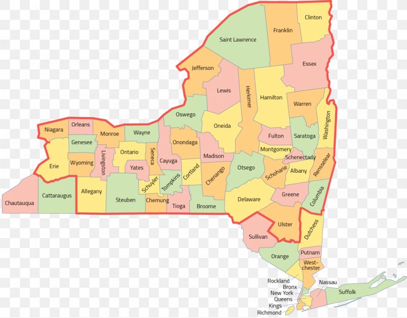
Map - Map Residential Area Land Lot Plan Line PNG
Below are more related PNG images...