Save
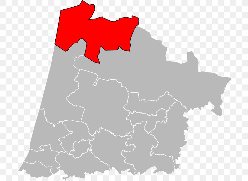
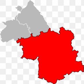
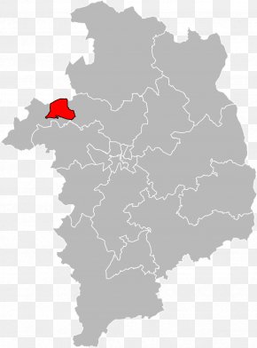
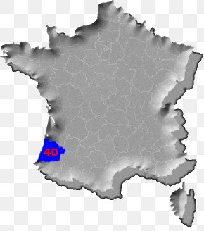
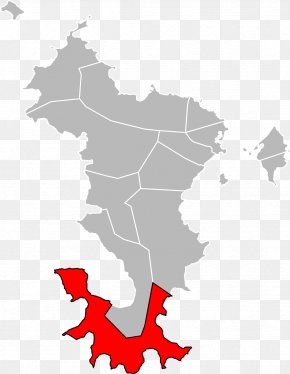
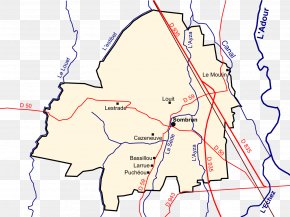
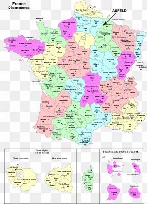
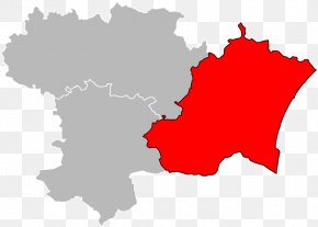
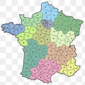
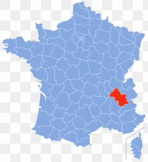
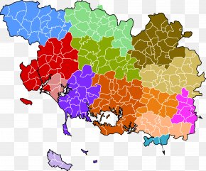
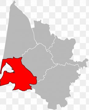
User anatonium uploaded this Map - Map Prefecture Département Des Landes Departments Of France Geographic Information System PNG PNG image on March 31, 2019, 3:18 pm. The resolution of this file is 712x600px and its file size is: 77.33 KB. This PNG image is filed under the tags:
Map - Map Prefecture Département Des Landes Departments Of France Geographic Information System PNG
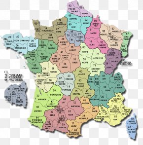
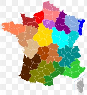
Below are more related PNG images...