Save
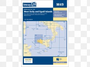
User Estrobeda uploaded this Map - Map Imray Chart G14: Saronic And Argolic Gulfs Admiralty Chart Nautical Chart PNG PNG image on July 18, 2023, 10:44 pm. The resolution of this file is 500x500px and its file size is: 150.81 KB. This PNG image is filed under the tags:
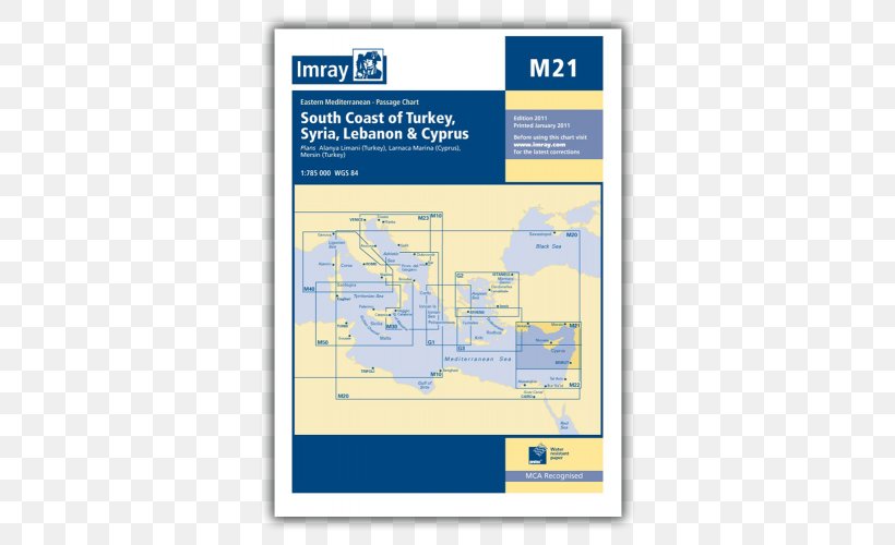
Map - Map Imray Chart G14: Saronic And Argolic Gulfs Admiralty Chart Nautical Chart PNG
Below are more related PNG images...