Save
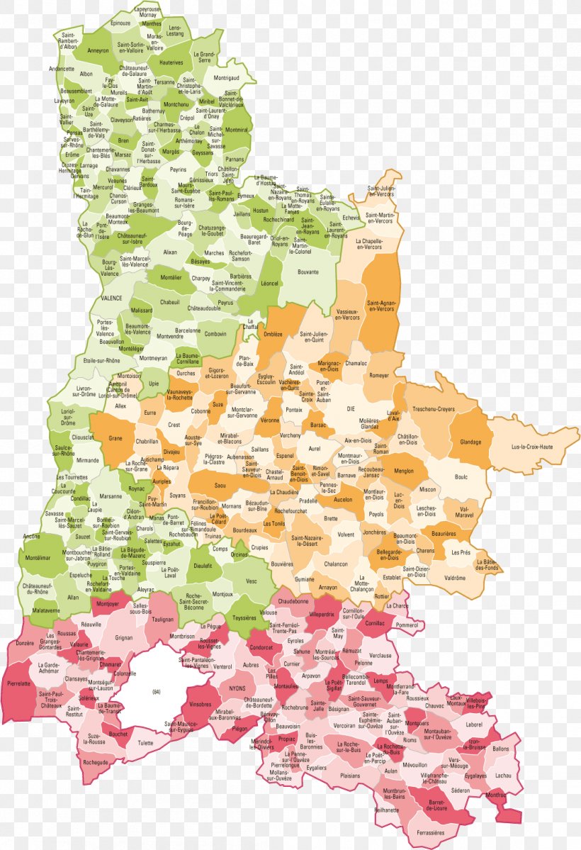
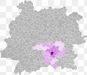
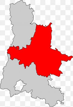
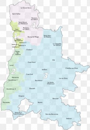
User candidopr3 uploaded this Map - Loriol-sur-Drôme Map Nyons Isère Vaucluse PNG PNG image on July 6, 2018, 4:29 am. The resolution of this file is 1104x1615px and its file size is: 193.61 KB. This PNG image is filed under the tags:
Map - Loriol-sur-Drôme Map Nyons Isère Vaucluse PNG
Below are more related PNG images...