Save
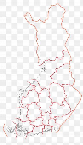
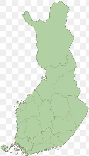
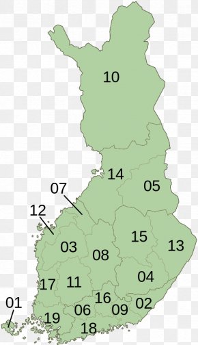
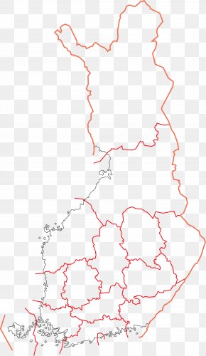
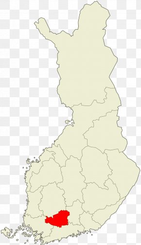
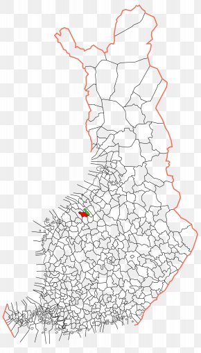
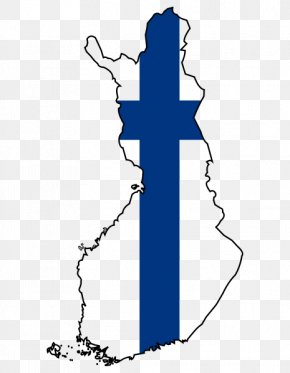
User david963434 uploaded this Map - Jakobstad Terjärv Nykarleby Map Finnish PNG PNG image on February 17, 2018, 3:35 pm. The resolution of this file is 1920x3342px and its file size is: 634.88 KB. This PNG image is filed under the tags:
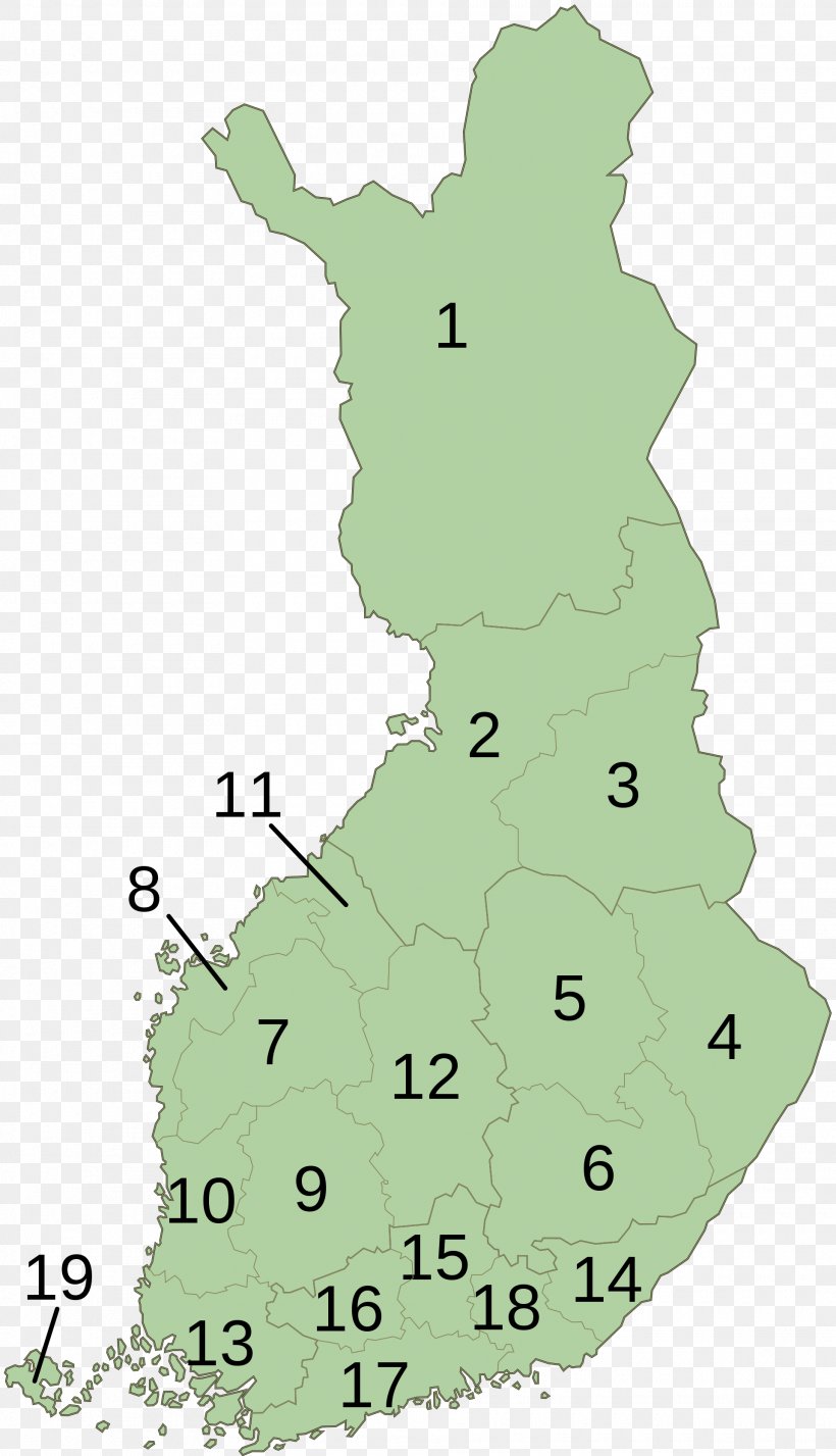
Map - Jakobstad Terjärv Nykarleby Map Finnish PNG
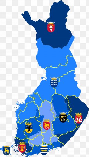
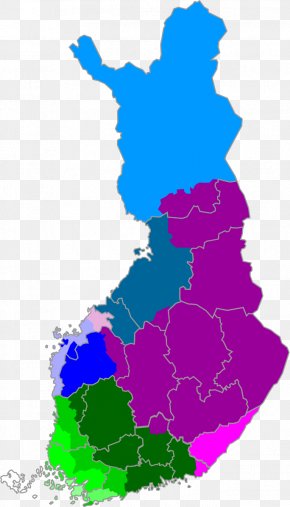
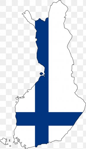
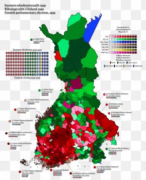
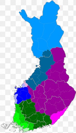
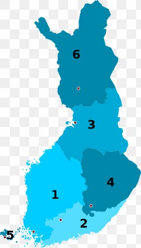
Below are more related PNG images...