Save
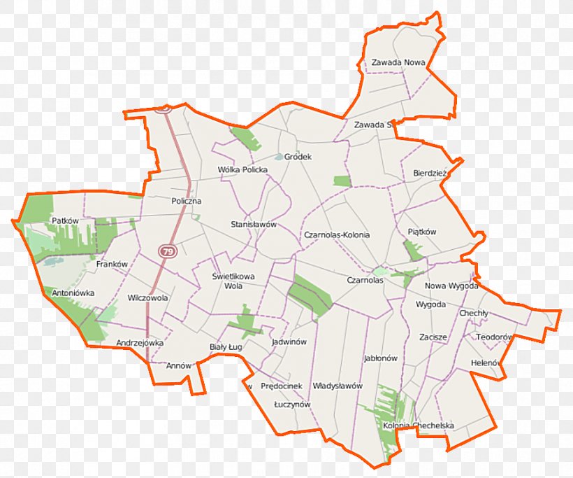
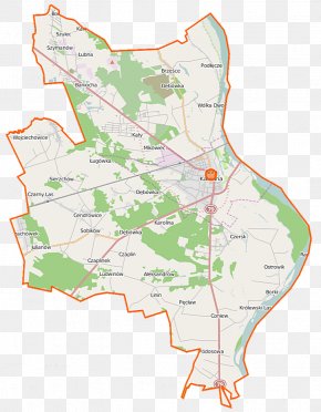
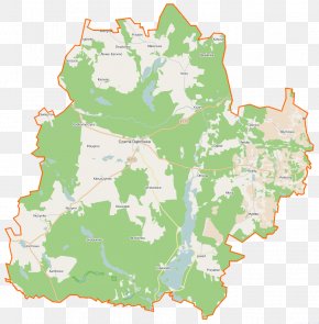
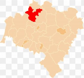
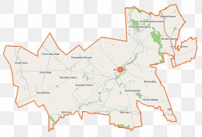
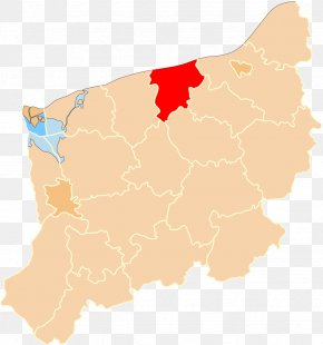
User Stickysyrup uploaded this Map - Helenów Czarnolas Franków Gródek, Zwoleń County Policzna, Masovian Voivodeship PNG PNG image on July 27, 2018, 8:57 am. The resolution of this file is 904x754px and its file size is: 113.94 KB. This PNG image is filed under the tags:
Map - Helenów Czarnolas Franków Gródek, Zwoleń County Policzna, Masovian Voivodeship PNG
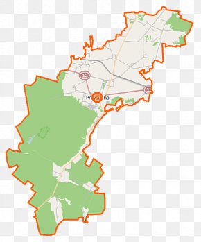
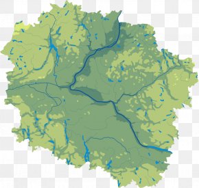
Below are more related PNG images...