Save
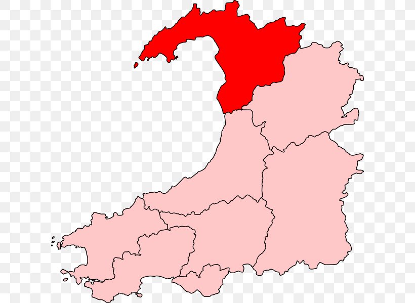
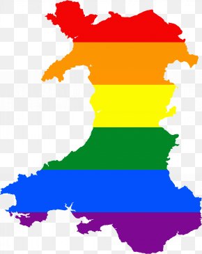
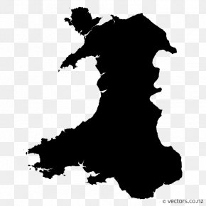
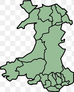
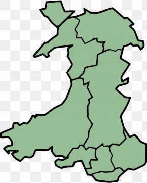
User 3p0rn3r uploaded this Map - Gwynedd Dwyfor Meirionnydd Meirionnydd Nant Conwy Preserved Counties Of Wales Map PNG PNG image on February 9, 2019, 7:13 am. The resolution of this file is 618x599px and its file size is: 61.29 KB. This PNG image is filed under the tags:
Map - Gwynedd Dwyfor Meirionnydd Meirionnydd Nant Conwy Preserved Counties Of Wales Map PNG
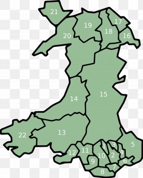
Below are more related PNG images...