Save
User slowcooker uploaded this Map - Great Britain British Isles Map Ordnance Survey PNG PNG image on November 7, 2018, 9:02 pm. The resolution of this file is 1214x2400px and its file size is: 1.25 MB. This PNG image is filed under the tags:
Map - Great Britain British Isles Map Ordnance Survey PNG
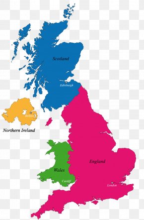
Below are more related PNG images...