Save
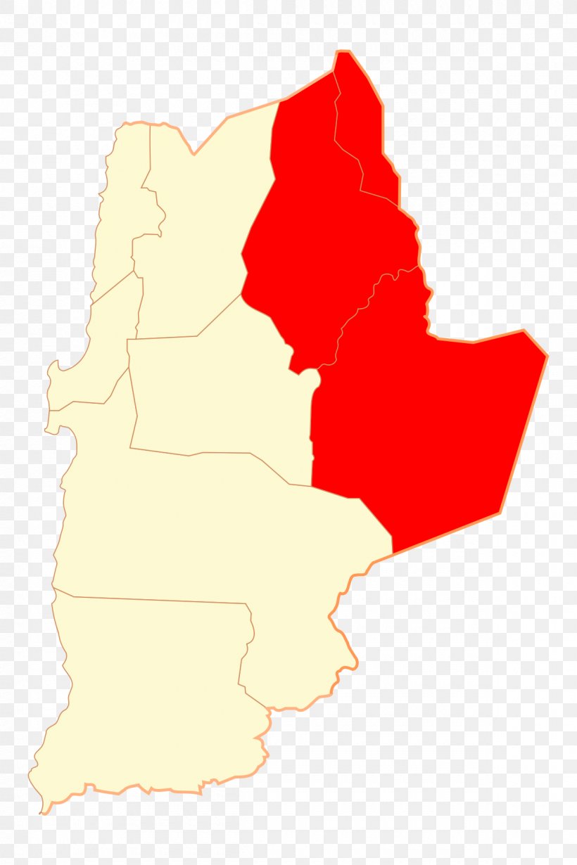
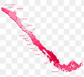
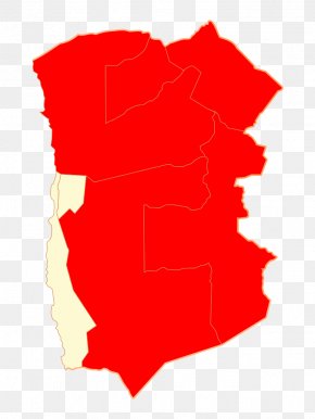
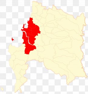
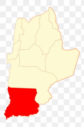
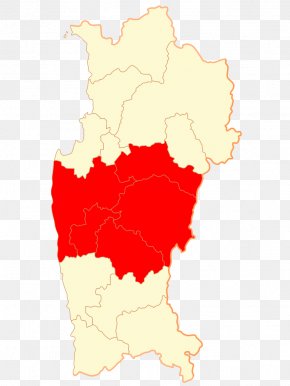
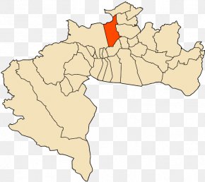
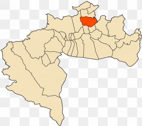
User chric741 uploaded this Map - El Loa Antofagasta Tocopilla Province Sierra Gorda, Chile Parinacota Province PNG PNG image on December 10, 2021, 4:32 pm. The resolution of this file is 1200x1800px and its file size is: 122.65 KB. This PNG image is filed under the tags:
Map - El Loa Antofagasta Tocopilla Province Sierra Gorda, Chile Parinacota Province PNG
Below are more related PNG images...