Save
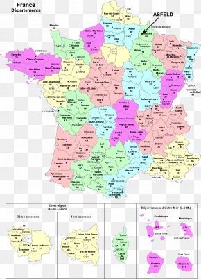
User Nebelherr uploaded this Map - Drawing Map Regions Of France Île-de-France PNG PNG image on December 15, 2018, 3:15 pm. The resolution of this file is 673x688px and its file size is: 51.48 KB. This PNG image is filed under the tags:
Map - Drawing Map Regions Of France Île-de-France PNG
Below are more related PNG images...