Save
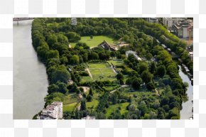
User User1092837465 uploaded this Map - Creil Oise Map Chemin Rural Parc De Verneuil PNG PNG image on August 16, 2021, 4:26 am. The resolution of this file is 995x551px and its file size is: 1.01 MB. This PNG image is filed under the tags:
Map - Creil Oise Map Chemin Rural Parc De Verneuil PNG
Below are more related PNG images...