Save
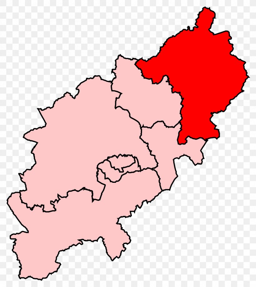
User ezekielkeia8 uploaded this Map - Corby District Kettering Map Location PNG PNG image on December 2, 2021, 11:32 am. The resolution of this file is 1200x1347px and its file size is: 107.02 KB. This PNG image is filed under the tags:
Map - Corby District Kettering Map Location PNG
Below are more related PNG images...