Save
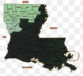
User johnsess uploaded this Map - Claiborne Parish, Louisiana Map Plat PNG PNG image on August 23, 2018, 3:58 pm. The resolution of this file is 647x573px and its file size is: 90.59 KB. This PNG image is filed under the tags:
Map - Claiborne Parish, Louisiana Map Plat PNG
Below are more related PNG images...