User jerryt7491 uploaded the image
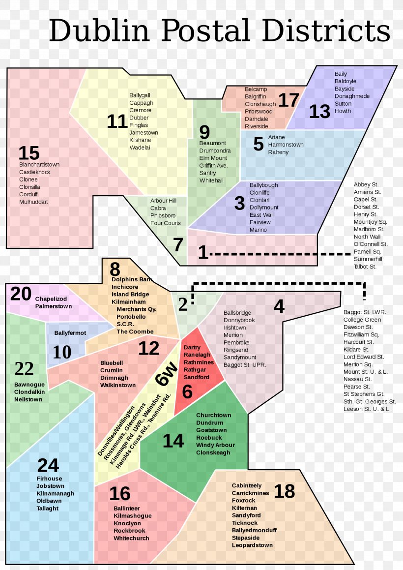
Churchtown, Dublin Postal Code Map DE Postcode Area PNG
. The Churchtown, Dublin Postal Code Map DE Postcode Area PNG has a transparent background, is 675.84 KB and has a resolution of 1920 x 2715 pixels.Churchtown, Dublin Postal Code Map DE Postcode Area PNG
Related PNG Images