Save
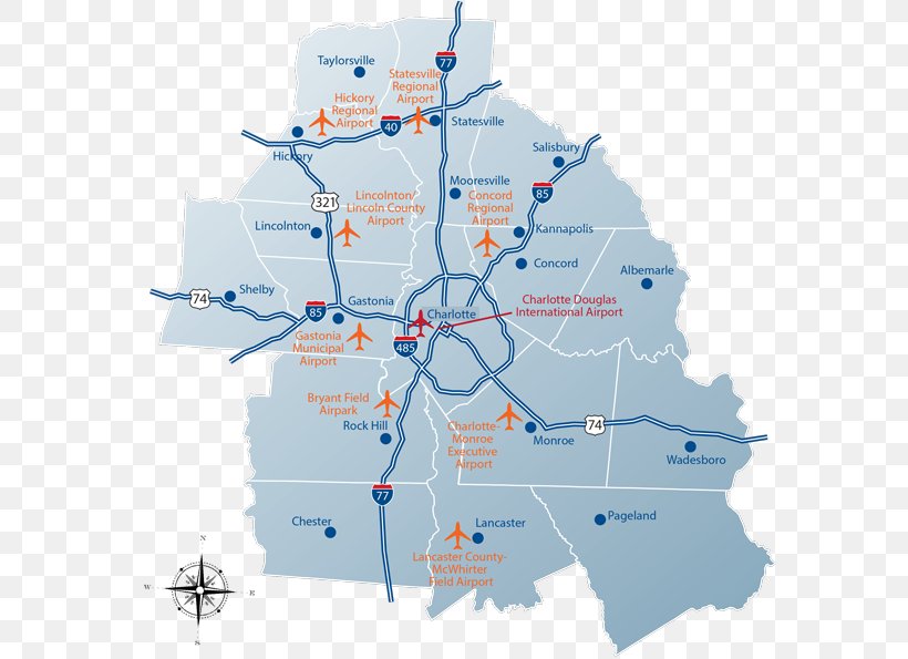
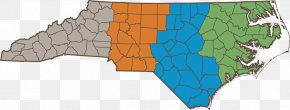
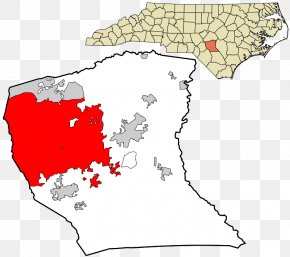
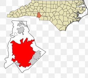
User romlybroom uploaded this Map - Charlotte USA Onslow County, North Carolina World Map Charlotte Douglas International Airport PNG PNG image on November 11, 2017, 8:53 am. The resolution of this file is 600x595px and its file size is: 208.07 KB. This PNG image is filed under the tags:
Map - Charlotte USA Onslow County, North Carolina World Map Charlotte Douglas International Airport PNG
Below are more related PNG images...