Save
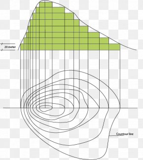
User kenwilli uploaded this Map - Caen Mondeville Le Tronquay Topographic Map PNG PNG image on December 7, 2022, 3:04 pm. The resolution of this file is 1600x977px and its file size is: 217.37 KB. This PNG image is filed under the tags:
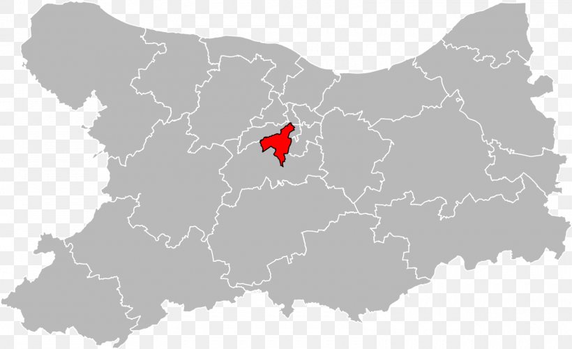
Map - Caen Mondeville Le Tronquay Topographic Map PNG
Below are more related PNG images...