Save
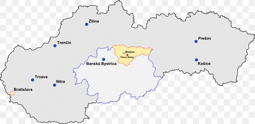
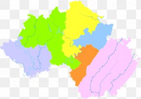
User RtmDoughboii uploaded this Map - Bystrá, Brezno District Horehronie Červená Skala Čierny Hron Railway Map PNG PNG image on June 10, 2018, 3:39 pm. The resolution of this file is 2179x1064px and its file size is: 166.45 KB. This PNG image is filed under the tags:
Map - Bystrá, Brezno District Horehronie Červená Skala Čierny Hron Railway Map PNG
Below are more related PNG images...